In recent times, revolutionary developments in remote sensor technology changed the pace of data acquisition in volume, variety, and veracity. The challenge is handling, processing, and automating geo-data from various sources such as multi-platform RS sensors and IoT devices, and making intelligent decisions on the fly. A self-motivated group of members of IEEE, contributing significantly in the fields of Geoscience, Remote Sensing, and Machine Intelligence, have come together to form a society, MIGARSS, that promotes research towards the applications of Machine Intelligence for GeoAnalytics and Remote Sensing.
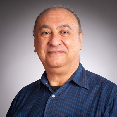
Alejandro C. Frery
Professor, Victoria University of Wellington, New ZealandAlejandro C. Frery
Professor, Victoria University of Wellington, New Zealand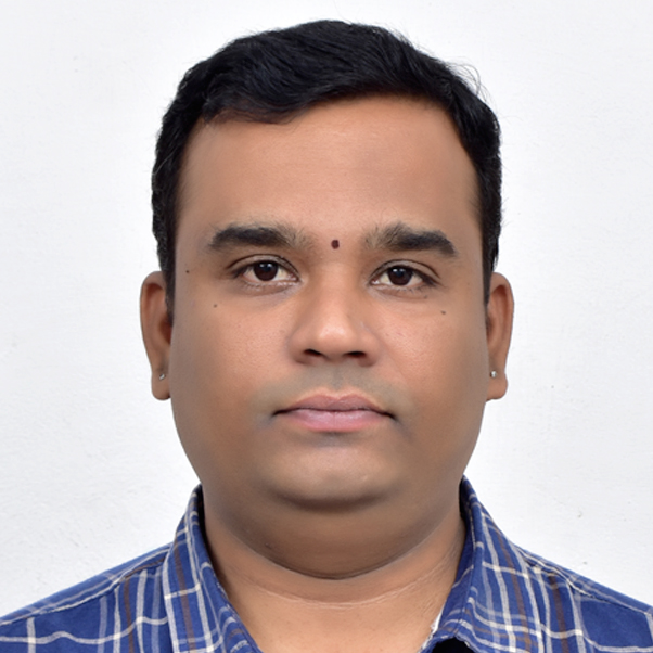
Hitendra Sarma
Associate Professor, Vasavi College of Engineering, Hyderabad, IndiaHitendra Sarma
Associate Professor, Vasavi College of Engineering, Hyderabad, India
N. Rama Rao
Professor, Department of Earth and Space Sciences, Indian Institute of Space Science and Technology (IIST), Trivandrum, IndiaN. Rama Rao
Professor, Department of Earth and Space Sciences, Indian Institute of Space Science and Technology (IIST), Trivandrum, India
Avik Bhattacharya
Professor Centre of Studies in Resources Engineering (CSRE) Indian Institute of Technology Bombay Powai, Mumbai - 400 076, IndiaAvik Bhattacharya
Professor Centre of Studies in Resources Engineering (CSRE) Indian Institute of Technology Bombay Powai, Mumbai - 400 076, India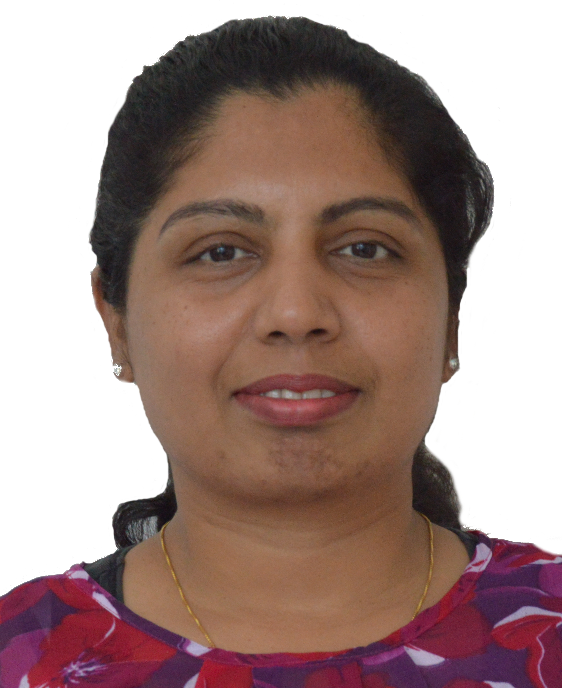
Jaya Sreevalsan Nair
Associate Professor, IIIT Bangalore, IndiaJaya Sreevalsan Nair
Associate Professor, IIIT Bangalore, India
Saroj Meher
Associate Professor, Indian Statistical Institute Bangalore, IndiaSaroj Meher
Associate Professor, Indian Statistical Institute Bangalore, India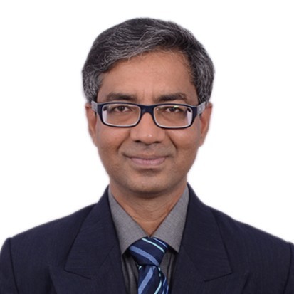
B.S. Daya Sagar
Professor, Indian Institute of Science Bangalore, IndiaB.S. Daya Sagar
Professor, Indian Institute of Science Bangalore, India
Mihai Datcu
CEO SpaceTech, University POLITEHNICA of Bucharest (UPB) Romania Earth Observation Center (EOC), German Aerospace Center (DLR), GermanyMihai Datcu
CEO SpaceTech, University POLITEHNICA of Bucharest (UPB) Romania Earth Observation Center (EOC), German Aerospace Center (DLR), Germany