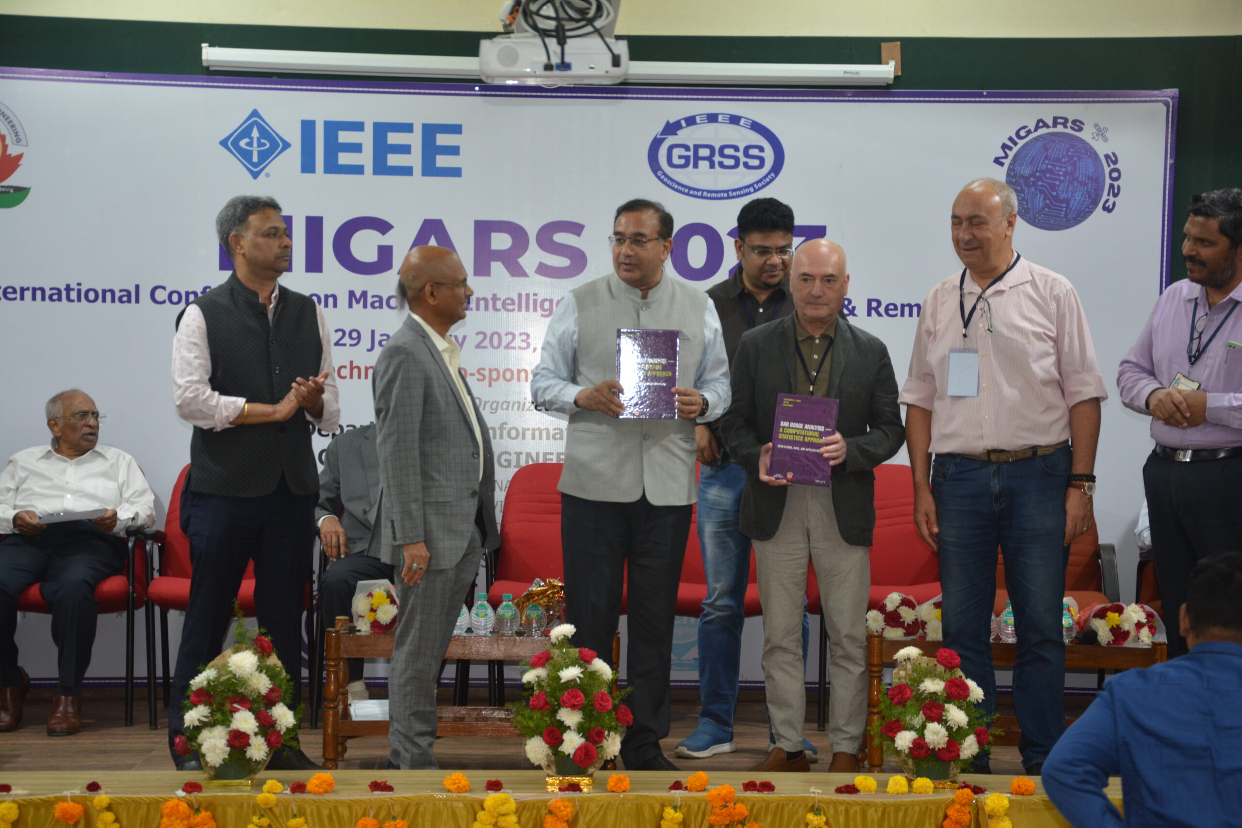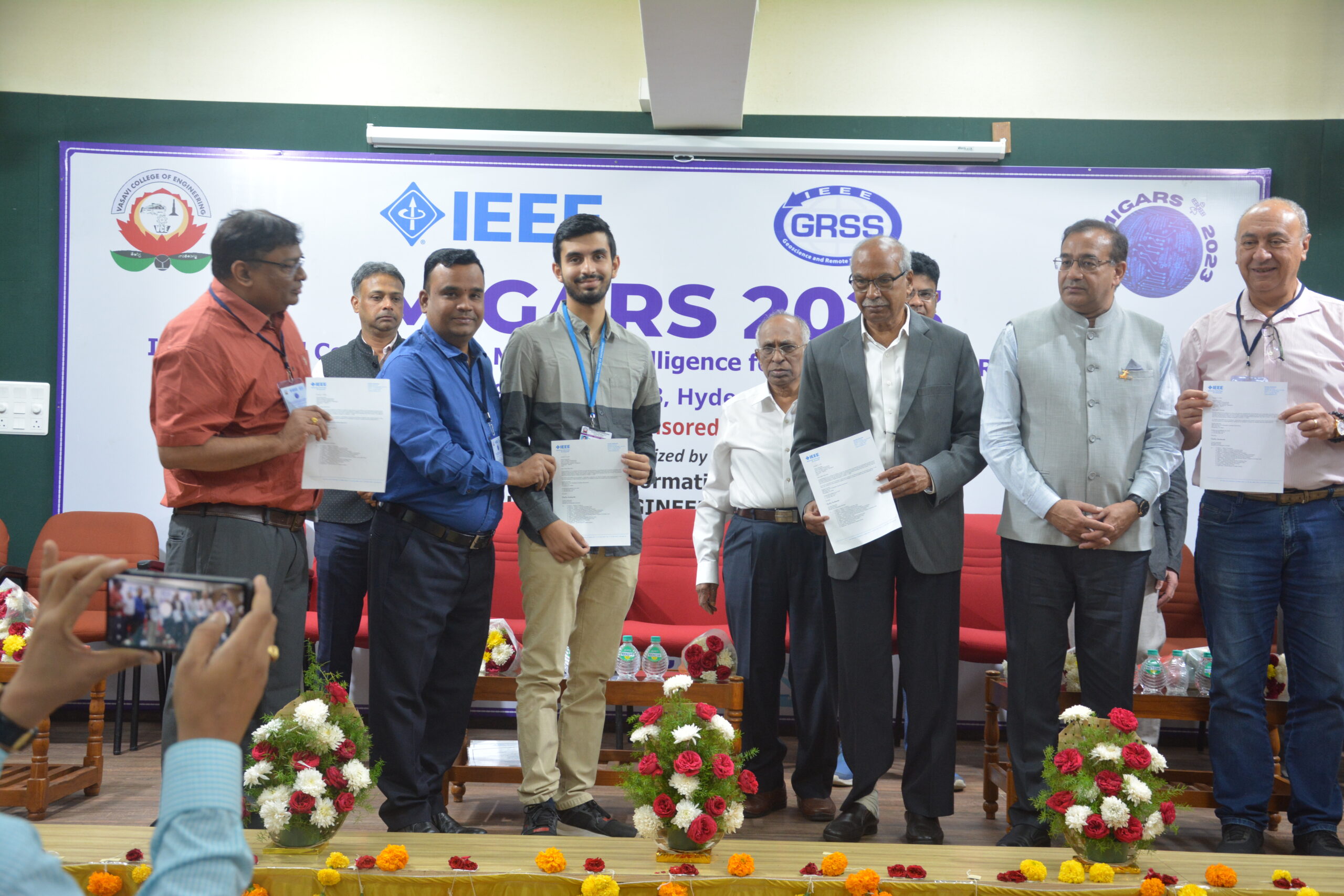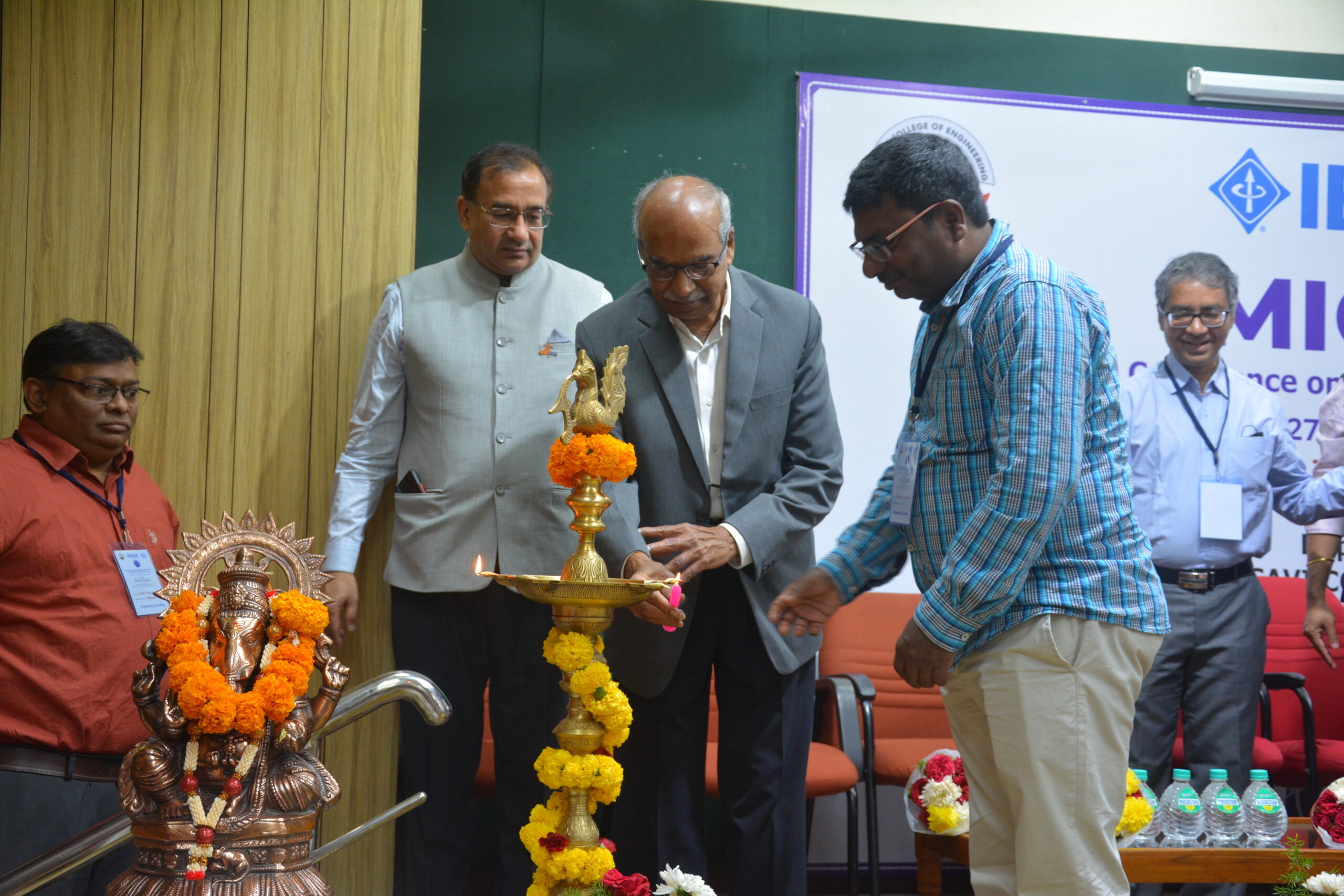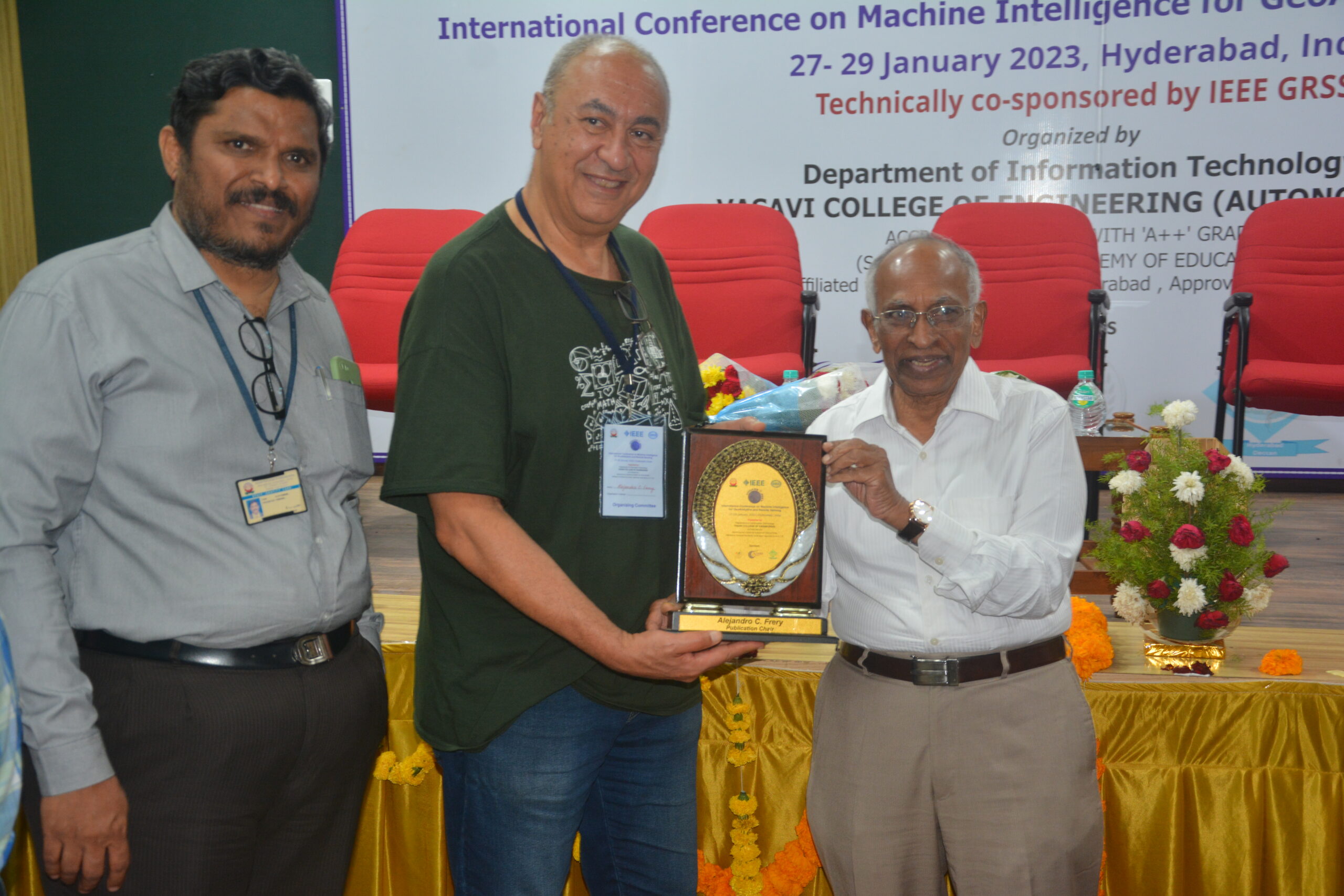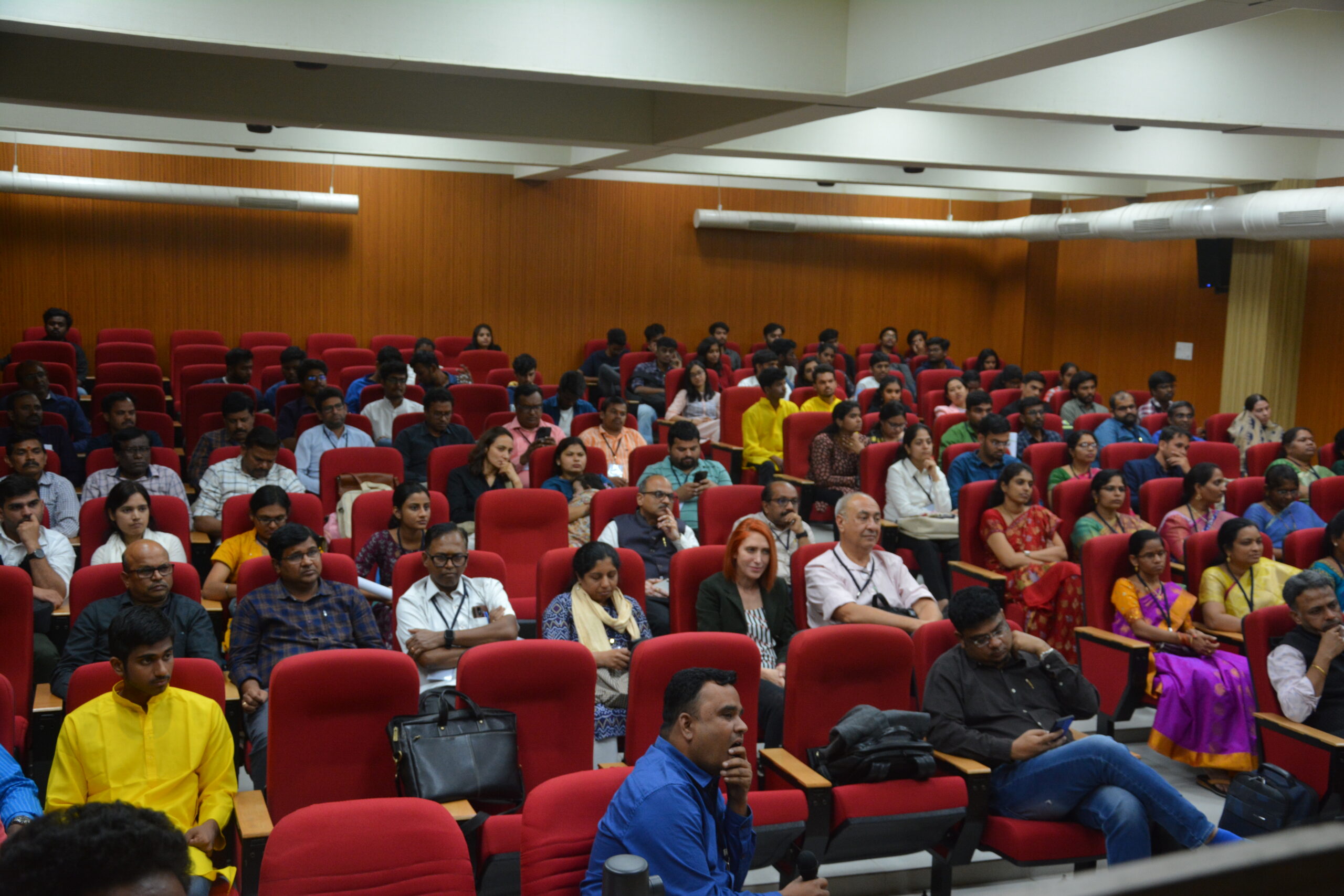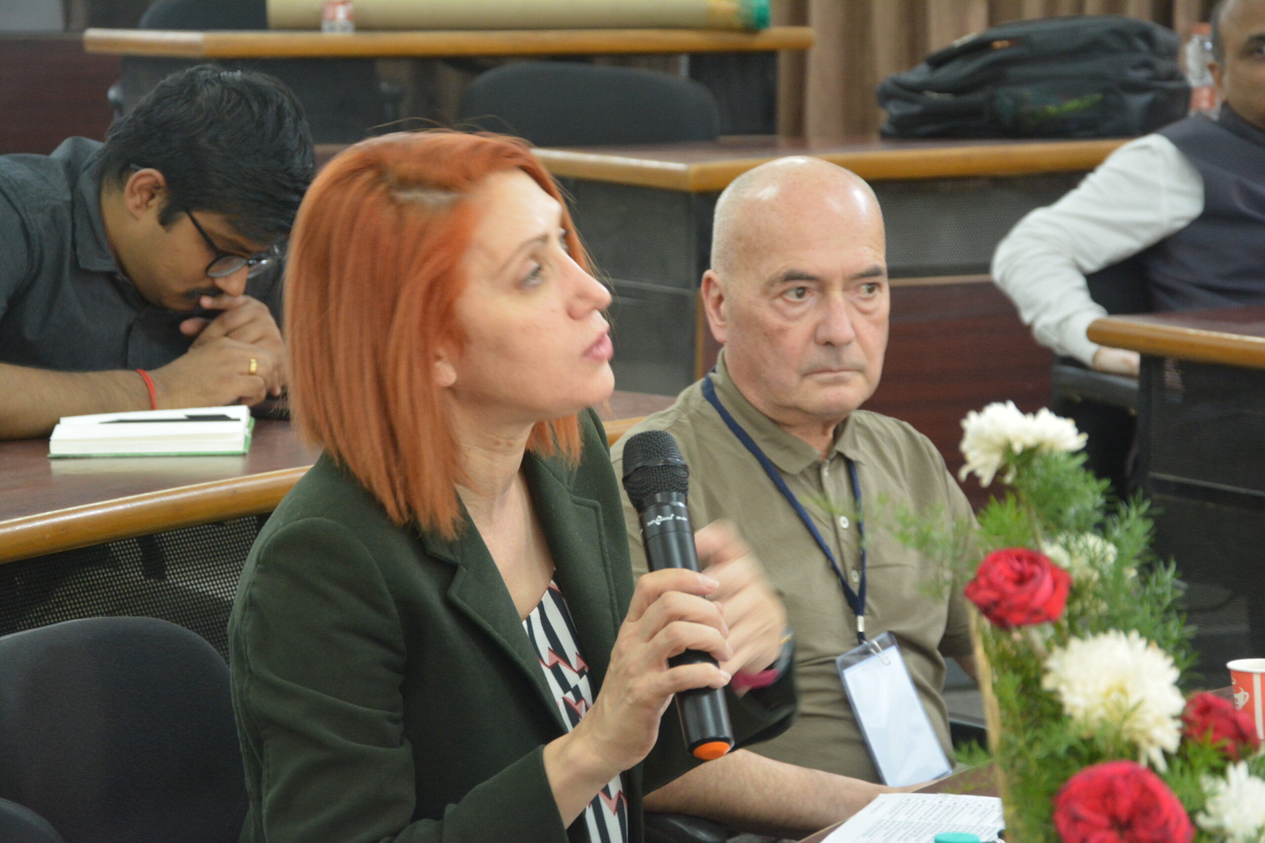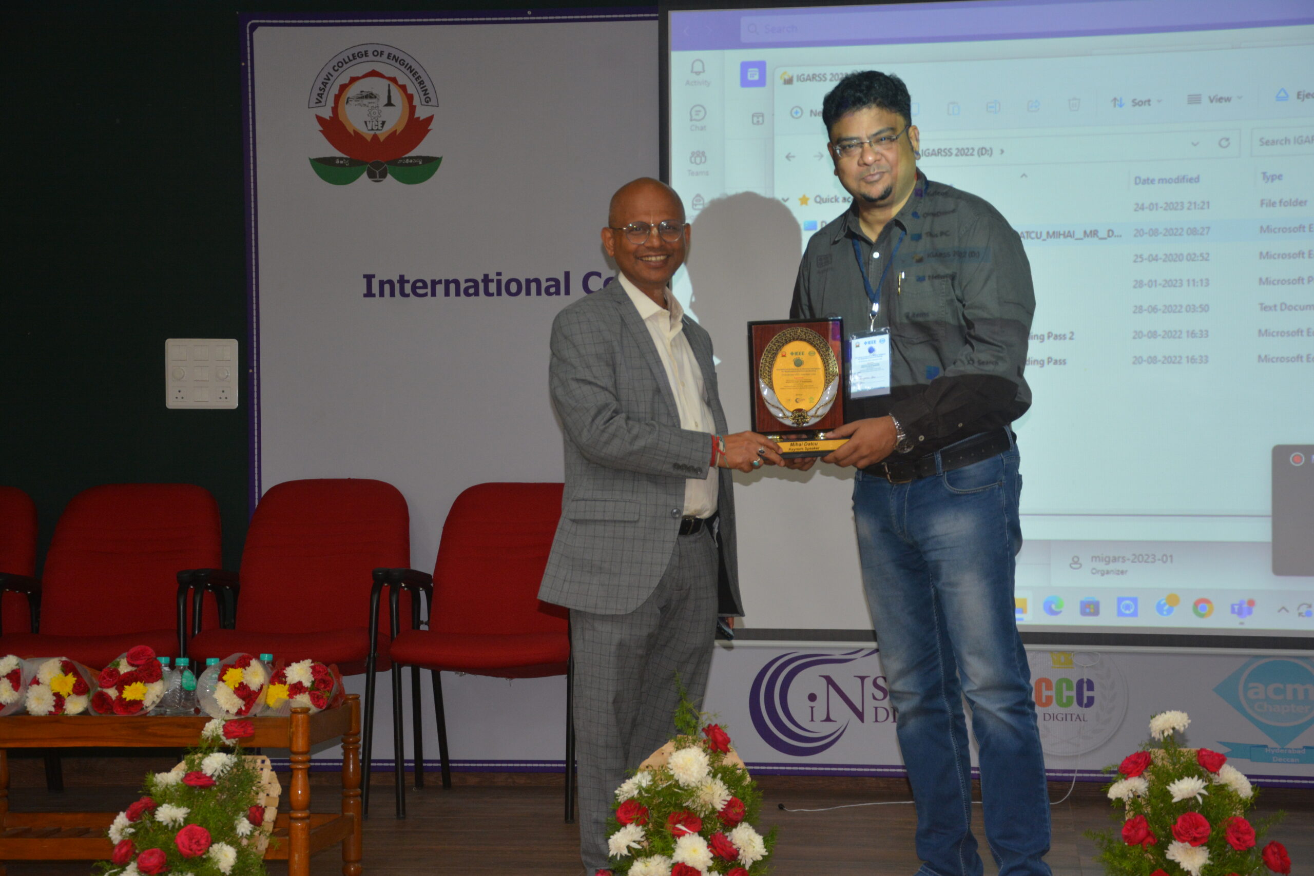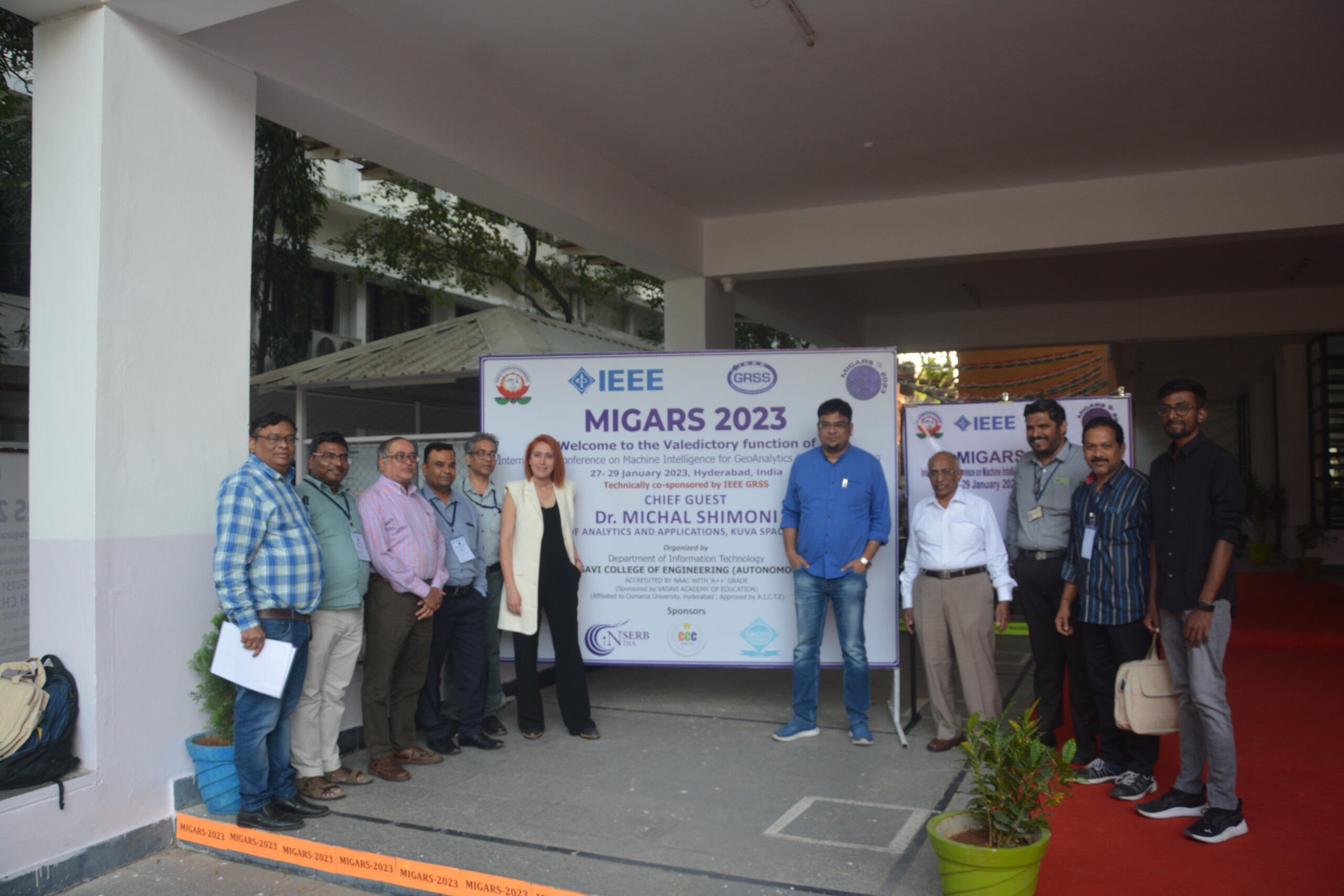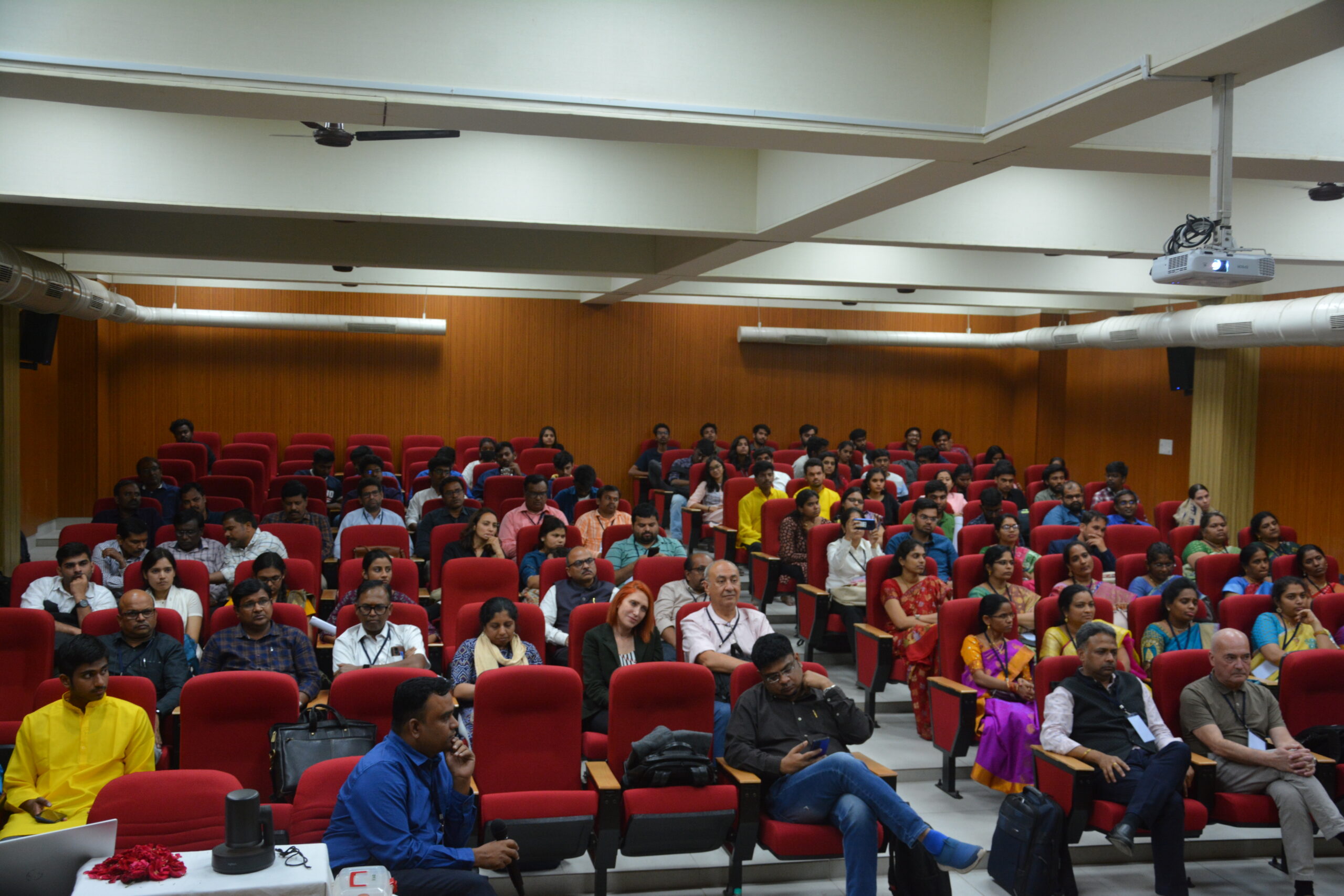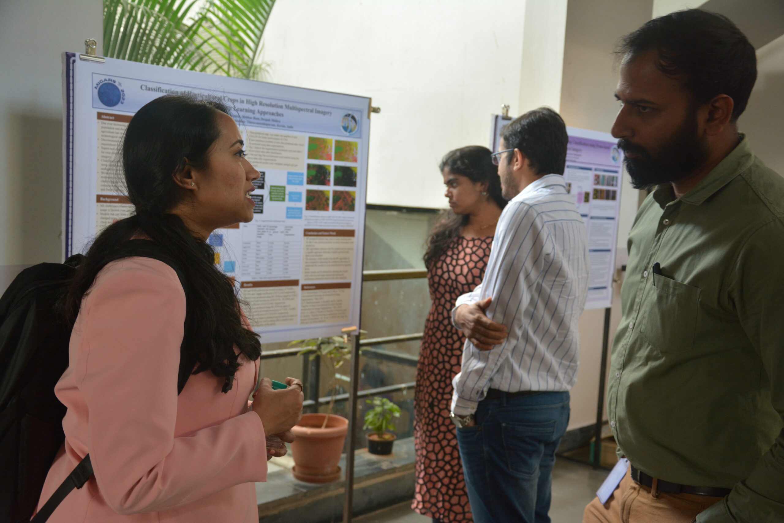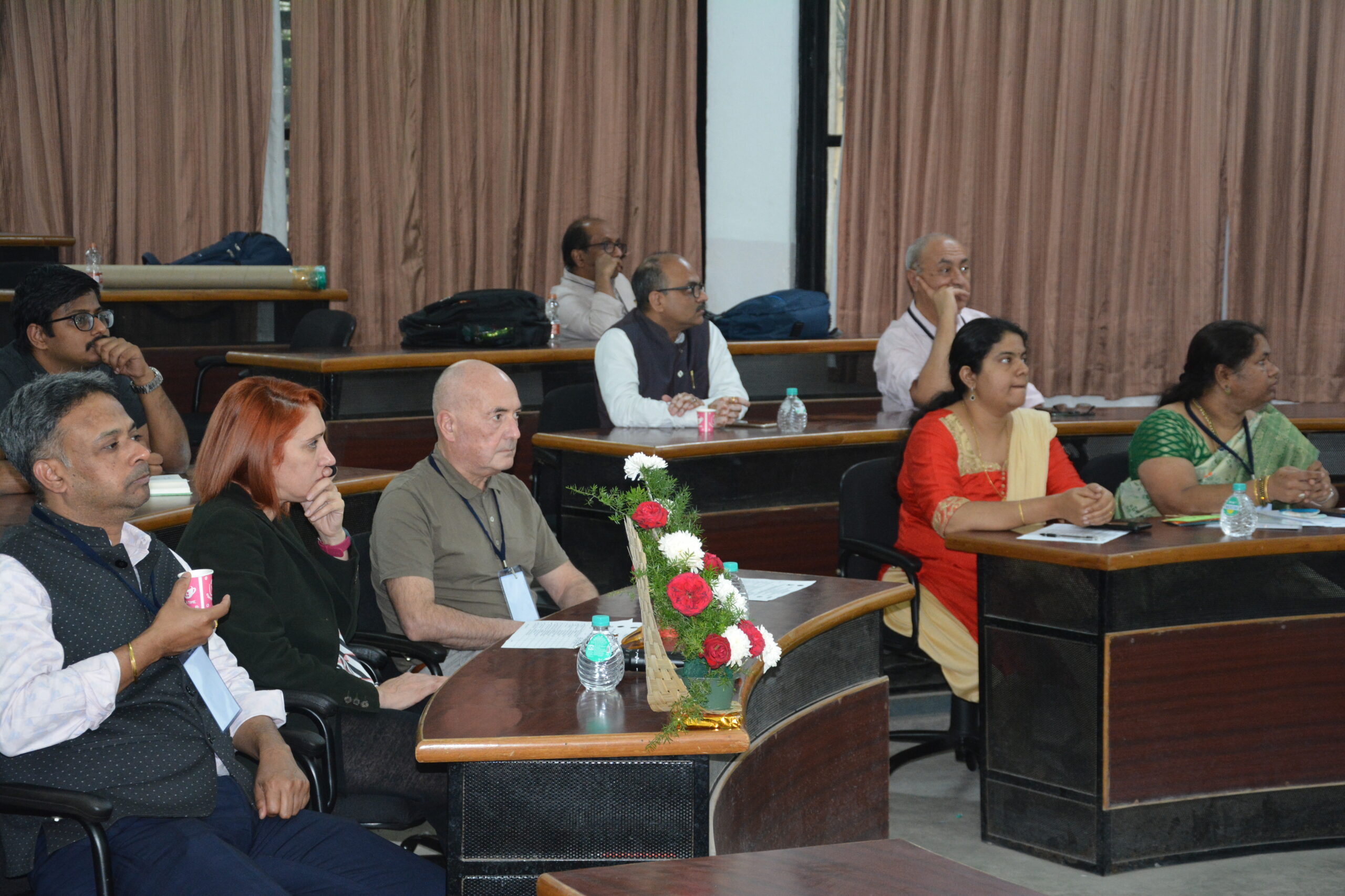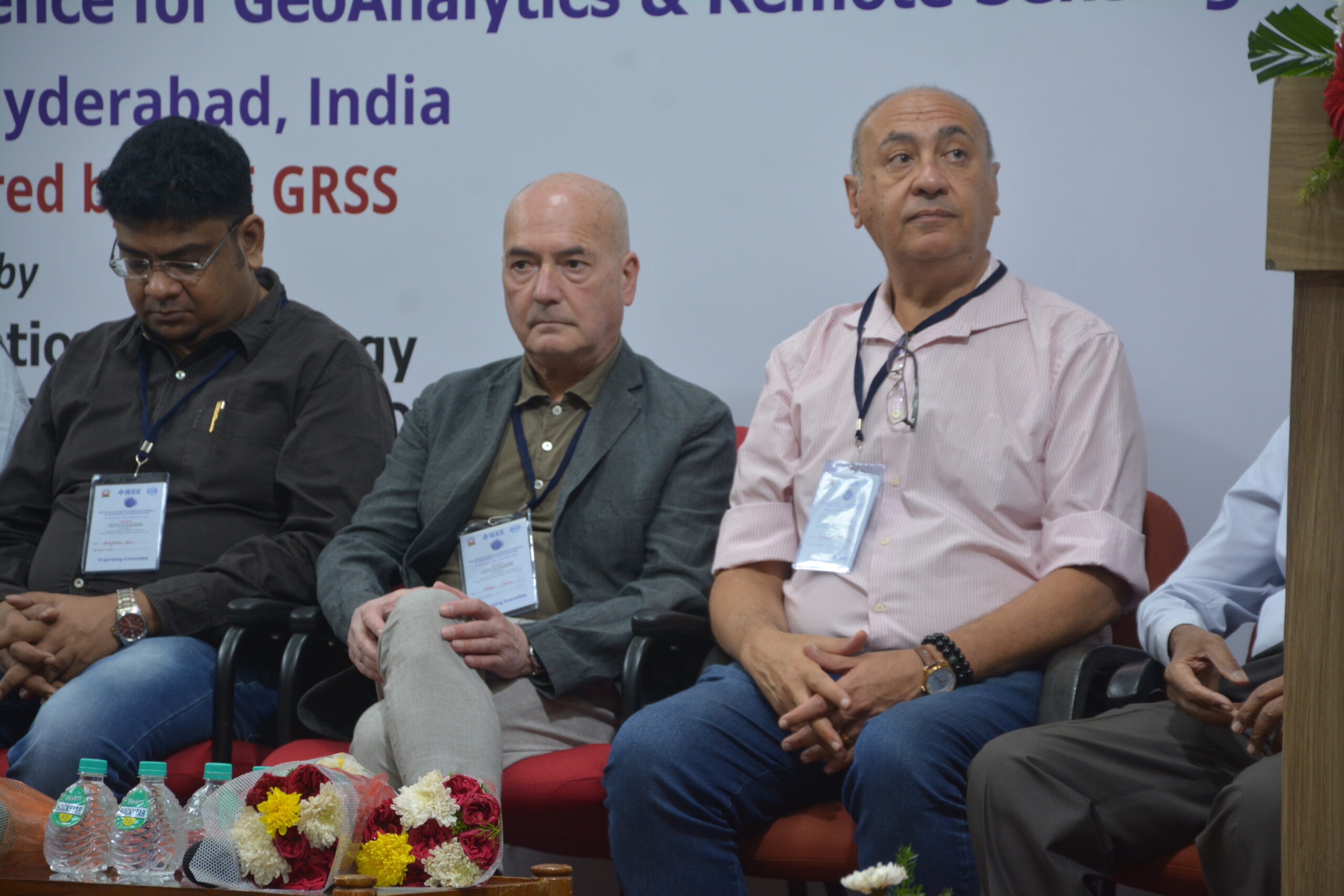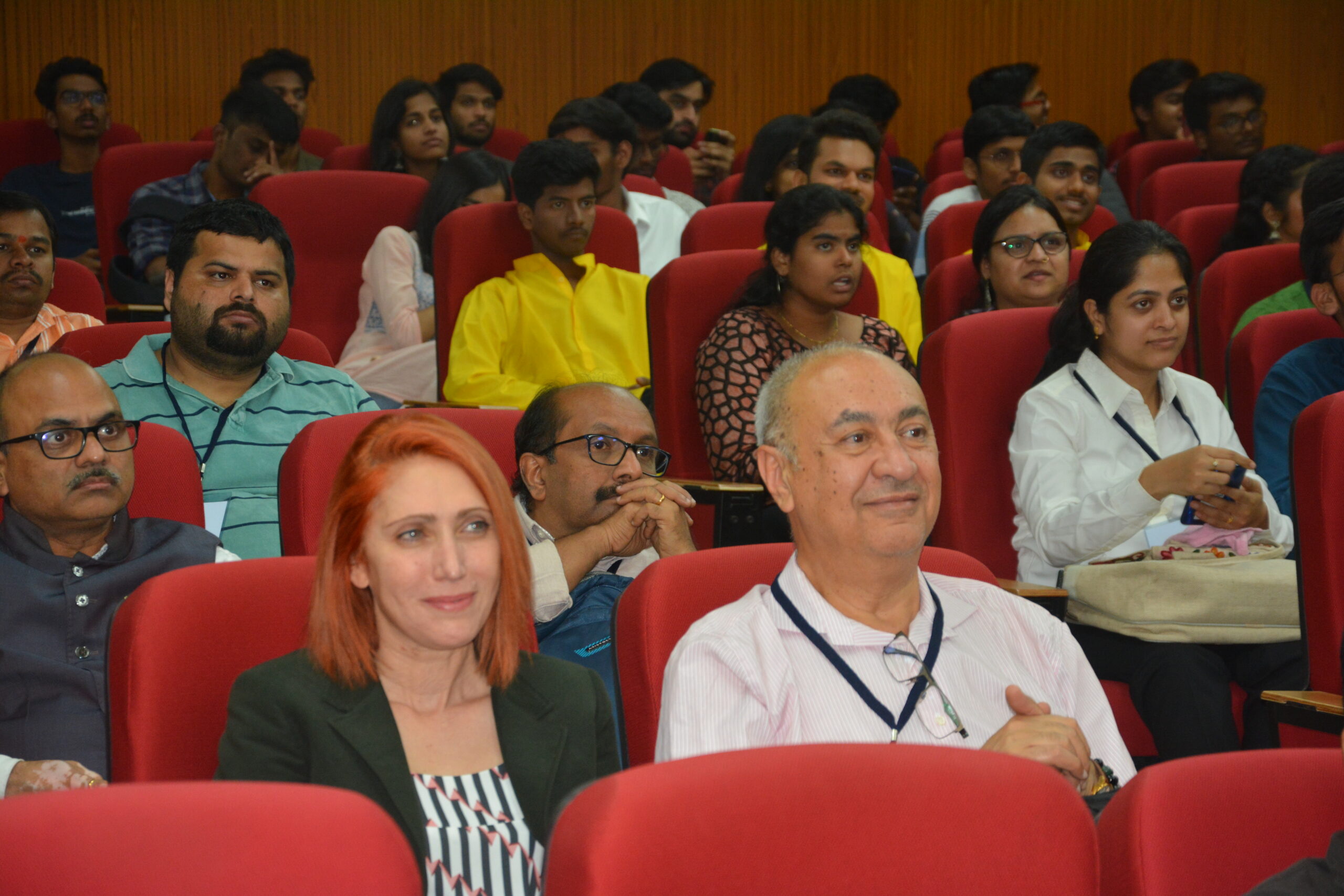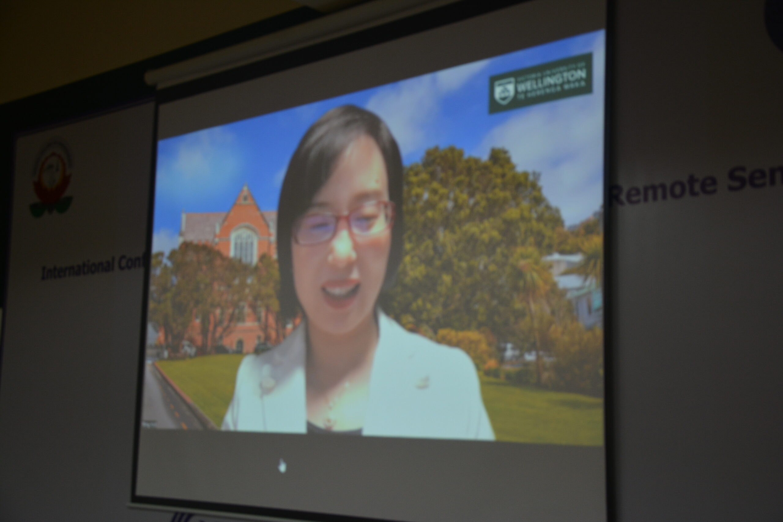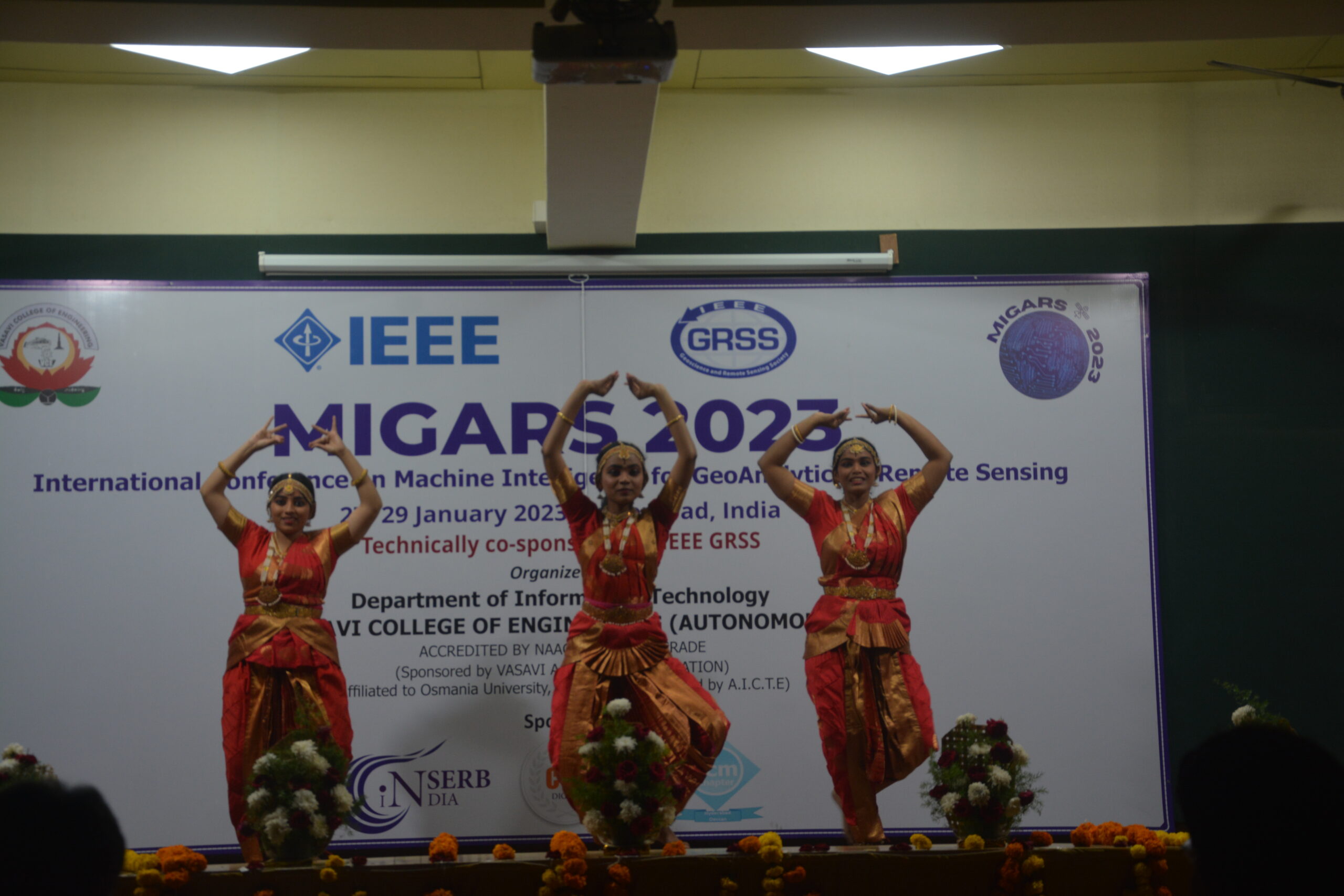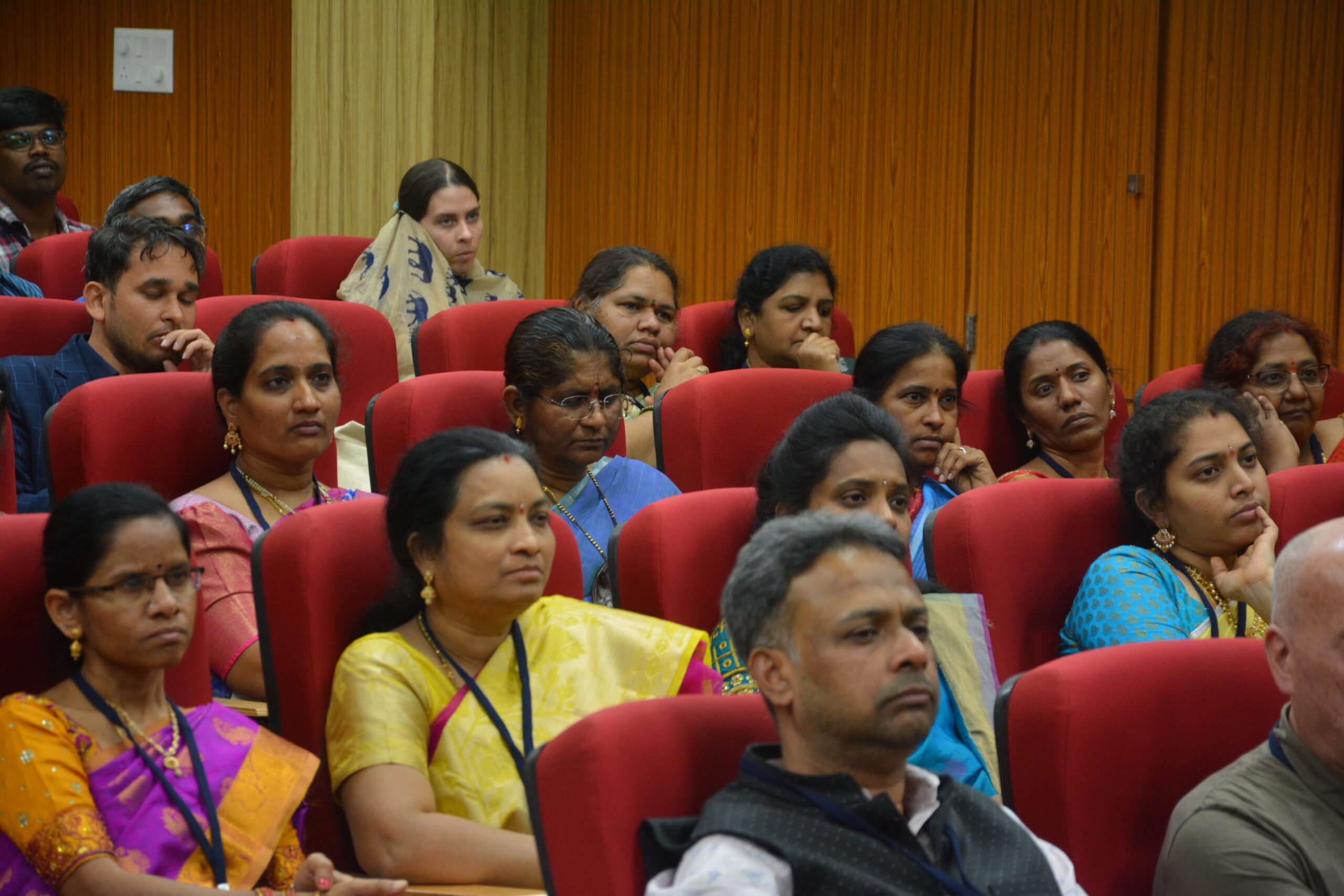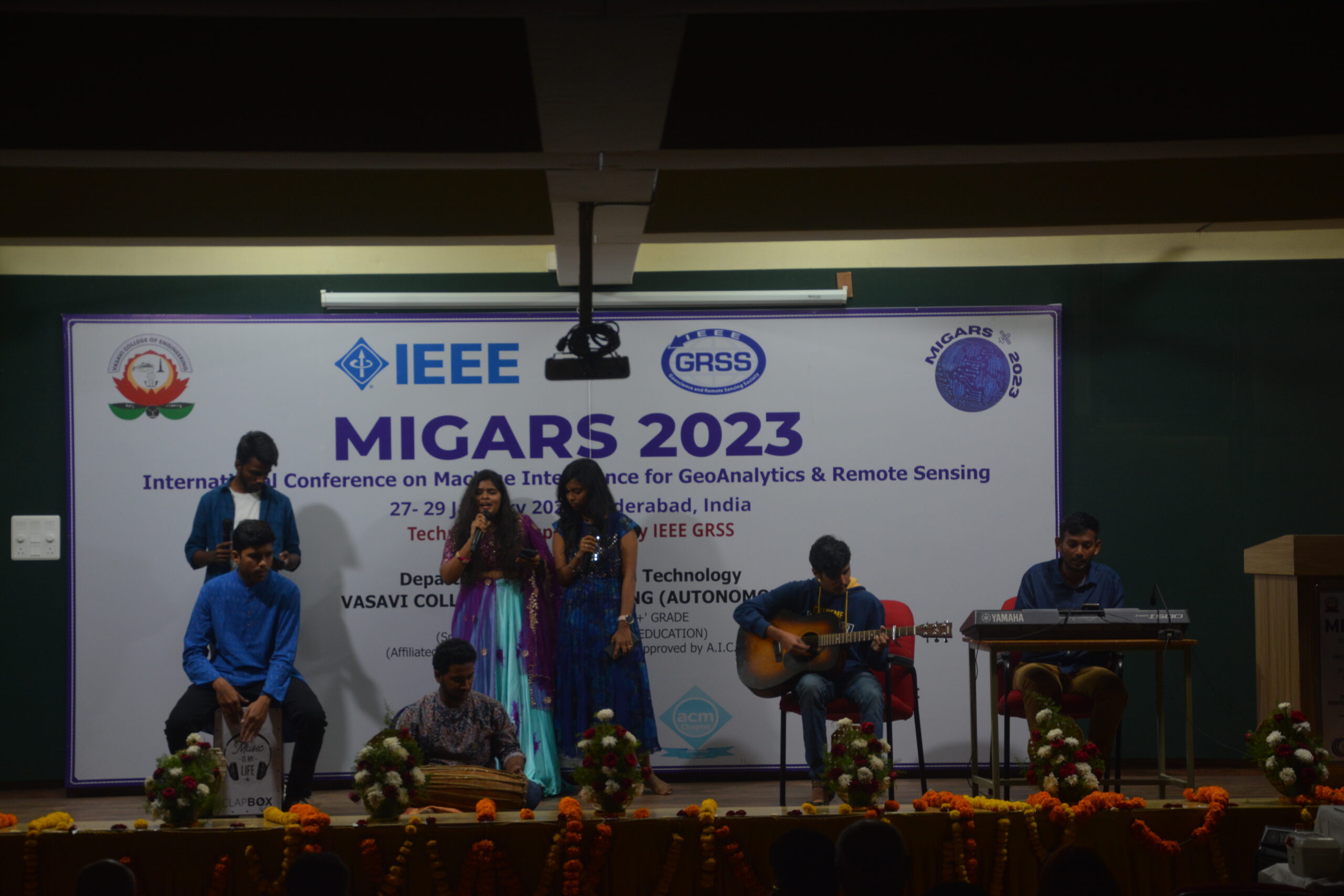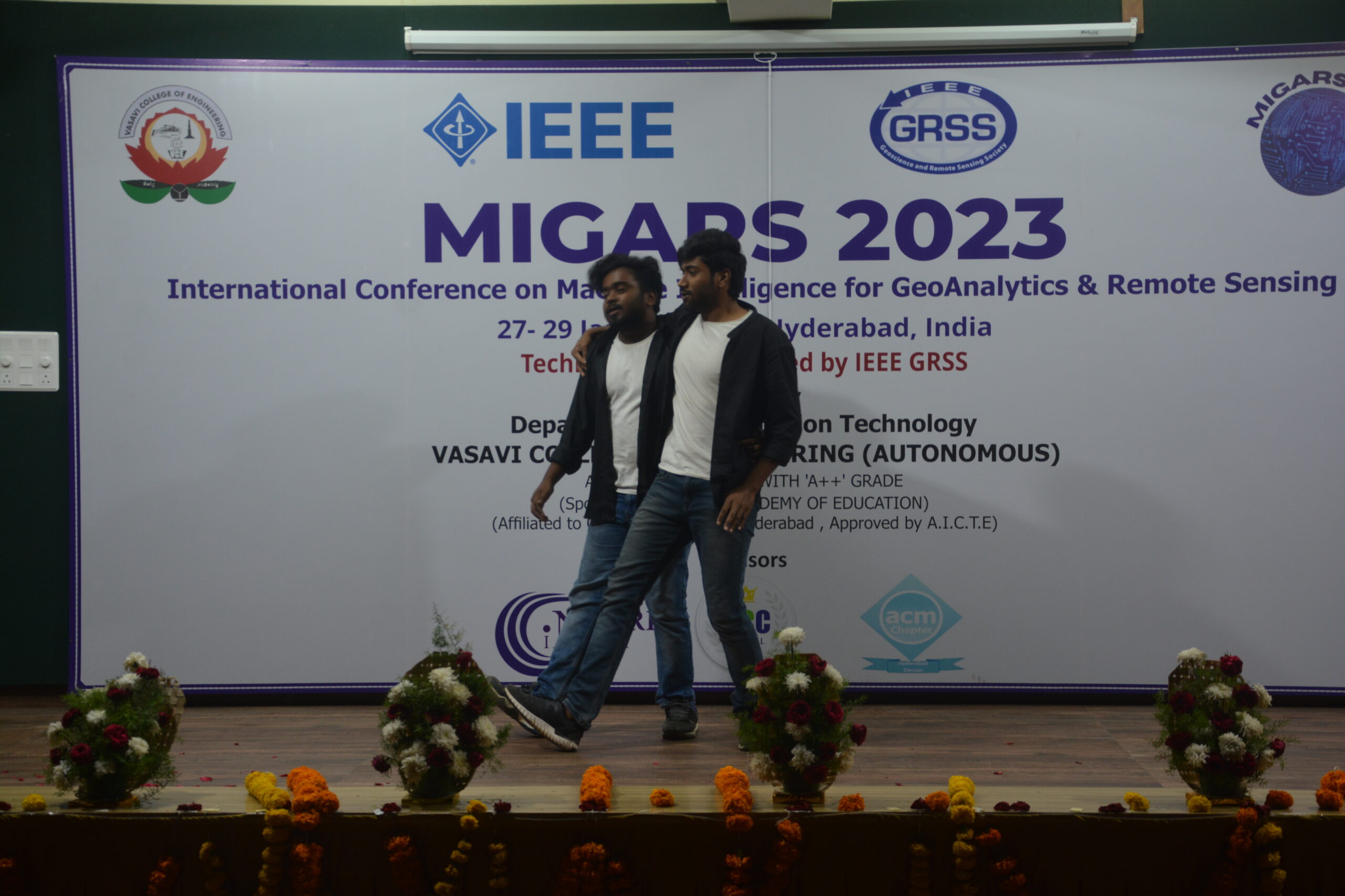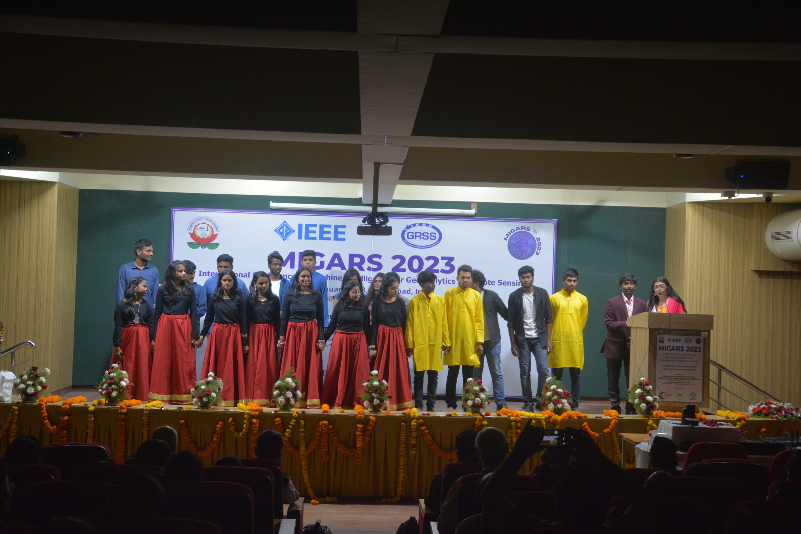


Machine Intelligence for GeoAnalytics and Remote Sensing (MIGARS) 2023 is the first of its kind effort to have a joint event of two primary emerging IEEE Societies; Geoscience and Remote Sensing (GRSS) and Computational Intelligence Society (CIS). MIGARS aims to explore the confluence of advances in machine intelligence (MI) approaches, geoscience, geo-analytics(GA), and remote sensing (RS). Thanks to the revolutionary developments in remote sensor technology, data acquisitions have grown leaps and bounds to stream and are too big by volume, variety, and veracity. The challenge is handling, processing, and automating geo-data from various sources such as multi-platform RS sensors and IoT devices and making intelligent decisions on the fly. The focus of the conference is to connect researchers from computing, MI, GA and RS domains and look for the potential use of intelligent computational approaches for geo-data based applications and serve society at large. This Conference was technically co-sponsored by IEEE Geoscience and Remote Sensing Society (GRSS) and ACM Hyderabad Deccan Chapter.
Call for Papers
We invite original contributions in the form of full papers and posters on the following topics (list is not exhaustive)
|
·
|
- Statistical machine learning
- Deep learning
- Evolutionary computing
- Computational intelligence
- Uncertainty quantification in geoscience and remote sensing
- Data analysis and spatial data visualization
- Temporal data analysis, prediction, time series analysis
- Expert systems
- Big data applications
- Geospatial data analytics
Important Dates
- Paper Submission open: June 1, 2022
- Paper Submission Deadline:
Sep 1, 2022Sept 30, 2022 - Notification of Acceptance: Oct 30, 2022
- Registration Open: Nov 1, 2022
- Early bird registration: Nov 20, 2022
- Final Camera-Ready Submission: Dec 10, 2022
- Conference Dates: 27-29 Jan, 2023
Paper Submission
- All the accepted and presented papers will be
published in the proceedings of IEEE and will be
uploaded to IEEE Xplore. - Authors of outstanding papers will be invited to
submit extended versions of Special Issues to
appear in IEEE GRSS journals.
Submission is CLOSED
Our Speakers
Tutorials

Suraj Reddy
Scientist SE, National Remote Sensing Centre (ISRO), IndiaTopic: Machine Learning for Remote Sensing Data Analysis
Suraj Reddy
Scientist SE, National Remote Sensing Centre (ISRO), IndiaKeynote

Mihai Datcu
CEO SpaceTech, University POLITEHNICA of Bucharest (UPB) Romania Earth Observation Center (EOC), German Aerospace Center (DLR), Germany
Carlos A. Coello Coello
Department of Computer Science, CINVESTAV-IPN (Evolutionary Computation Group) Mexico City, MexicoYoung Professional Session
WIE/STEM Activity
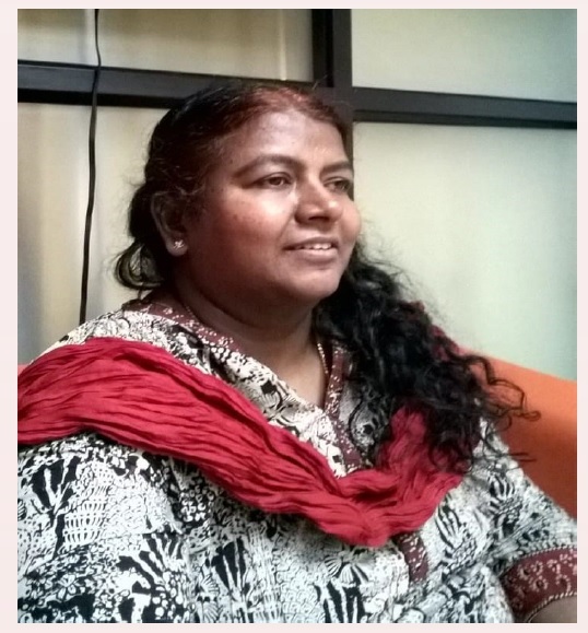
Dr. Novaline Jacob
Deputy Director, ADRIN, Dept of Space, Govt. of IndiaTopic: Push Beyond Your Limits to Achieve Your Goals
Dr. Novaline Jacob
Deputy Director, ADRIN, Dept of Space, Govt. of IndiaIndustry Research Talk
In person Tutorial Registration
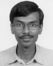
The talk will be a random walk through deep architectures for some computer vision tasks, as seen from the eyes of a perennial Doubting Thomas and an unwilling and reluctant skeptic. The talk will focus on the speaker's struggles to come to terms with concepts which have physical significance, but comparatively little in terms of mathematical rigour, or algorithmic efficiency, but have the potential to produce hitherto unseen levels of startling results. The talk will start from scratch, delve a bit into history and timelines, and look into some computer vision applications of deep neural networks based on his limited understanding of traditional machine learning, and try to delve into related concepts, half of which he cannot readily explain well. The talk will use a `confuse if not convince' approach, and fervently hope that the confusion matrix approximates a diagonal one.
Workshop

In this workshop, we will see practical steps leading from ongoing research (materialized in a conference article) to consolidated manuscripts with good chances of being accepted forpublication in a journal. To this end, we will review the principles of scientific research, including reproducibility and replicability. We will enhance the importance of preparing are producible article using, for instance, Quarto. We will also discuss typing assistants, version control systems, and collaborative tools.
LUNCH BREAK
Tutorial-2

Remote sensing data availability has exploded in recent years due to the rapid advancement of Earth observation technologies and data policies, creating significant challenges for effective and efficient processing and analysis. Machine learning gathers substantial context due its ability to typically model complex characteristics in the data to learn new patterns and predict new outcomes while reducing human intervention. The ability of machine learning algorithms to handle a wide range of predictors and accept data without making any assumptions about the distribution of the data makes them the perfect choice for automating and improving remote sensing data analysis to draw fresh conclusions from complicated scenarios. The objectives of this tutorial are to (1) provide a fundamental understanding of therequirements for machine learning algorithms in the analysis of remote sensing data, (2)establish a deep understanding of machine learning algorithms used in remote sensing data processing, (3) discuss challenges involved in building machine learning models and the impact of training data on model performance in the context of remote sensing data, and (4) use real-world examples to highlight the advantages and drawbacks of machine learning algorithms.
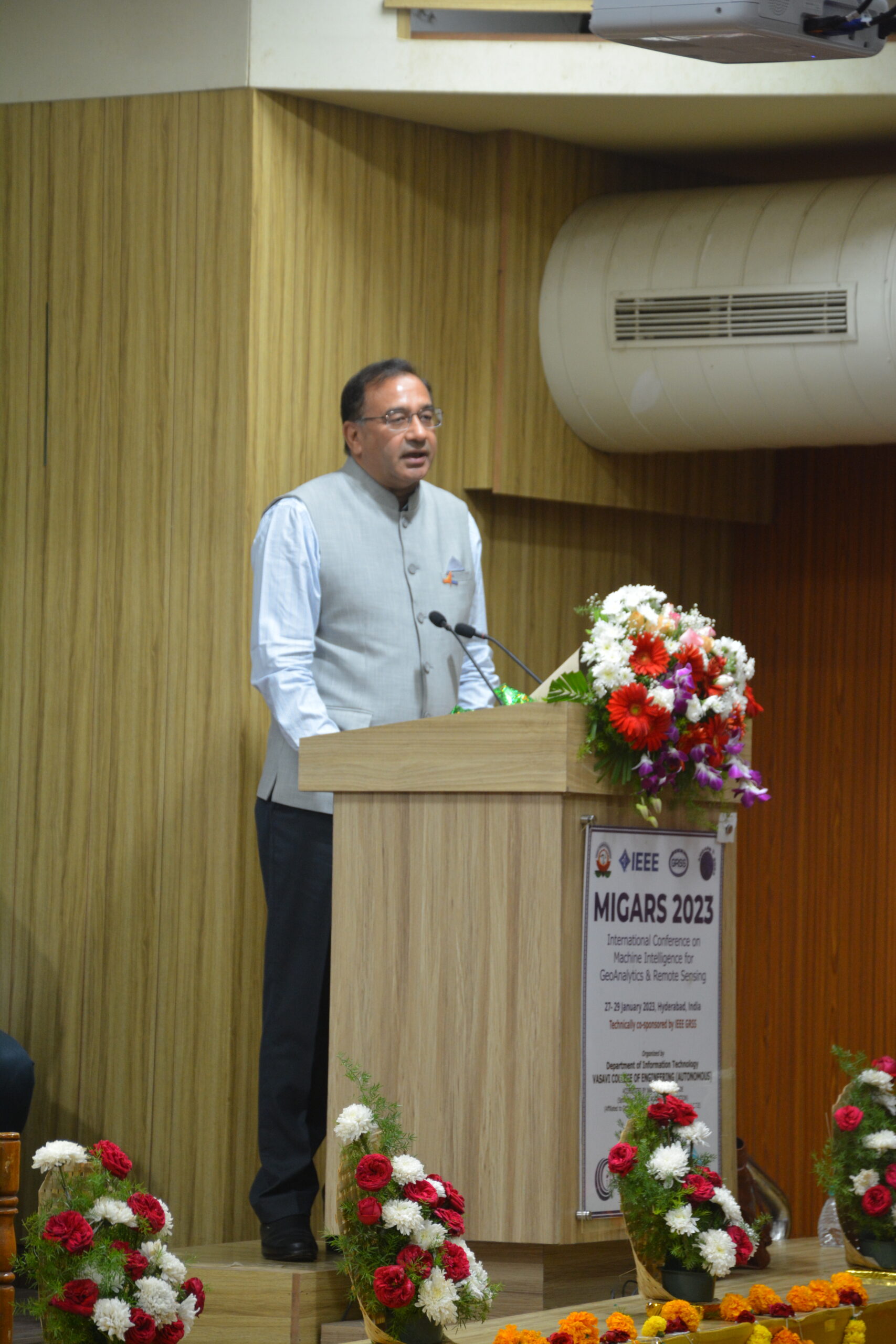
MIGARS 2023 Inaugural Address
Keynote Talk -1
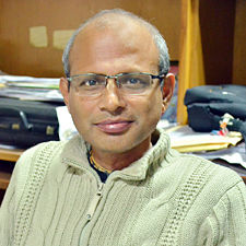
Robots have evolved from caged environments to be able to operate within sociable platforms. Warehouse automation, Smart Education, Healthcare and entertainment have played significant roles for such a transformation where robots behave more human-like. In this talk, some selected applications in warehouse automation will be presented. An example will be presented to illustrate if such robotic systems are really cognitive in real sense! Next, the efficacy of imitation learning will be demonstrated in the development of cognitive robotic systems. The challenges while naturalizing strong AI in robotic systems will be enumerated.
Keynote Talk -2

At present, quantum computing and AI are the key technologies in the digital era. The progress and transfer of quantum resources for use in practical applications is in constant acceleration. Quantum computing, quantum annealing, quantum circuits, or simulators for quantum computing are currently easily accessible. The exploitation of quantum physics effects such as superposition and entanglement opens new, still unexplored perspectives. Yet, with very limited capacities, hundreds of qubits, they draw the attention stimulating the new area of quantum machine learning. In this context the presentation will focus on relevant aspects of quantum technologies for EO. With the goal to identify if a quantum algorithm may bring any advantage compared with classical methods, will be firstly analysed the data complexity (i.e. data as prediction advantage). Secondly, it will be presented the classes of complexity of the algorithms. Thirdly, it will be identify major challenges in EO which could not yet be solved by classical methods, as for instance the causality analysis.
LUNCH BREAK
Technical Paper Presentation - 1
TS1.1.1 : Vegetation (6 papers) (Oral)
Paper IDs: 8584, 3476, 9865, 7124, 7493, 1343
TS1.1.2: Agriculture/Urban Models (6 papers) (Oral)
Paper IDs: 9818, 9351, 4448, 5461, 9118, 2912
TS1.1.3: Agriculture/Vegetation (8 Papers) (Poster)
Paper IDs: 2355, 9429, 182, 8800, 527, 2336, 8305, 2311
TEA BREAK
Technical Paper Presentation - 2
TS 1.2.1: Land-based Applications/Google Earth
(7 Papers) (Oral)
Paper IDs: 1902, 3566, 4897, 7650, 8666, 8857, 4885
TS 1.2.2: Registration/Segmentation/ Statistics (7 Papers) (Oral)
Paper IDs: 1988, 3260, 9296, 3230, 3446, 8497, 1076
TS 1.2.3: Hydrology/Hyperspectral/ Multispectral-Image Analysis (9 Papers) (Poster)
Paper IDs: 1050, 2238, 6181, 560, 7397, 1816, 8665, 7087, 2981
YP- Networking
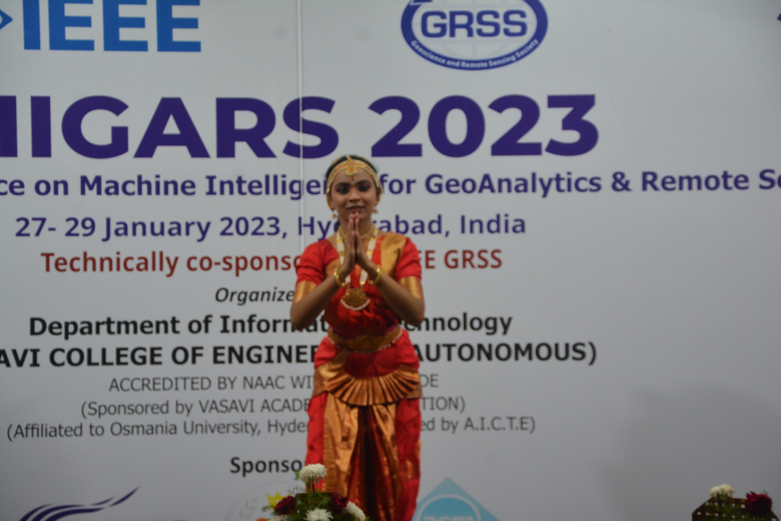
Cultural Program
Banquet Dinner

The first multi-objective evolutionary algorithm was published in 1985. However, it was not until the late 1990s that so-called evolutionary multi-objective optimization began to gain popularity as a research area. Throughout these 37 years, there have been several important advances in the area, including the development of different families of algorithms, test problems, performance indicators, hybrid methods and real-world applications, among many others. In the first part of this talk we will take a quick look at some of these developments, focusing mainly on some of the most important recent achievements. In the second part of the talk, a critical analysis will be made of the by analogy research that has proliferated in recent years in specialized journals and conferences (perhaps as a side effect of the abundance of publications in this area). Much of this research has a very low level of innovation and almost no scientific input, but is backed by a large number of statistical tables and analyses. In the third and final part of the talk, some of the future research challenges for this area, which, after 37 years of existence, is just beginning to mature, will be briefly mentioned.
TEA BREAK
Keynote Talk -4

Deep Learning (DL) is gaining considerable significance in various domains of Civil Engineering due to its capability learn unknown non-linear processes, dimensionality reduction, data mining, and bid data processing. DL is subset of Machine Learning which is a subset of Artificial Intelligence. Common DL networks such as Deep Neural Networks (DNN), Convolution Neural Networks (CNN), Auto Encoders (AE), and Recurrent Neural Networks (RNN) will be discussed. DL applications in transportation sector, urban infrastructure monitoring, agriculture & forest management, earth observation data applications in the domains of UN sustainable development goals, flood mapping, hyperspectral remote sensing etc. will be presented. Deep Learning can play a vital role in knowledge extraction by huge data mining which is essential for sustainable growth in different domains of Civil Engineering.
Technical Paper Presentation - 3
TS 2.1.1: Hydroclimatology/Floods (6 Papers) (Oral)
Paper IDs: 4152, 3538, 1354, 4445, 3253, 7307
TS 2.1.2: Climate-Atmosphere/Image Processing/Remote Sensing/ MR-Sensors (6 Papers) (Poster)
Paper IDs: 4368, 569, 1069, 1442, 9049, 4534
LUNCH BREAK
WIE/STEM Activity

Industry Research Talk

In the last few years, we have witnessed the privatisation and commercialisation of the space industry, which has changed the way we explore space, observe the earth, and conduct research. Once, it was nearly impossible for a startup to come up with a new space-related solution without investing large sums of money into developing and launching space assets. Not to mention the legal ramifications. Today, small and large companies can both adopt new business models thanks to the substantial drop in satellite and launch prices, the proliferation of ground stations, satellite tracking radars, and cloud services. The talk discusses the technological and commercial environments that led to this industrial revolution. It showcases how new technologies, earth observation and AI-based models, space data, remote sensing, satellite constellations, and cloud services interact and shape the future right in front of our eyes. In addition, it illustrates the impact of advanced machine and deep learning methods on data acquisition, processing chains, cloud computing, and data exploration.
TEA BREAK
Technical Paper Presentation - 4
TS 2.2.1 :Hyperspectral Imaging/SAR Imaging/Disasters (6 Papers) (Oral)
Paper IDs: 7957, 5718, 1301, 2442, 9320, 3816
TS 2.2.2 : Land based Apps/Disasters/Urban Models (6 Papers) (Poster)
Paper IDs: 7143, 1073, 5087, 1257, 7946, 8686
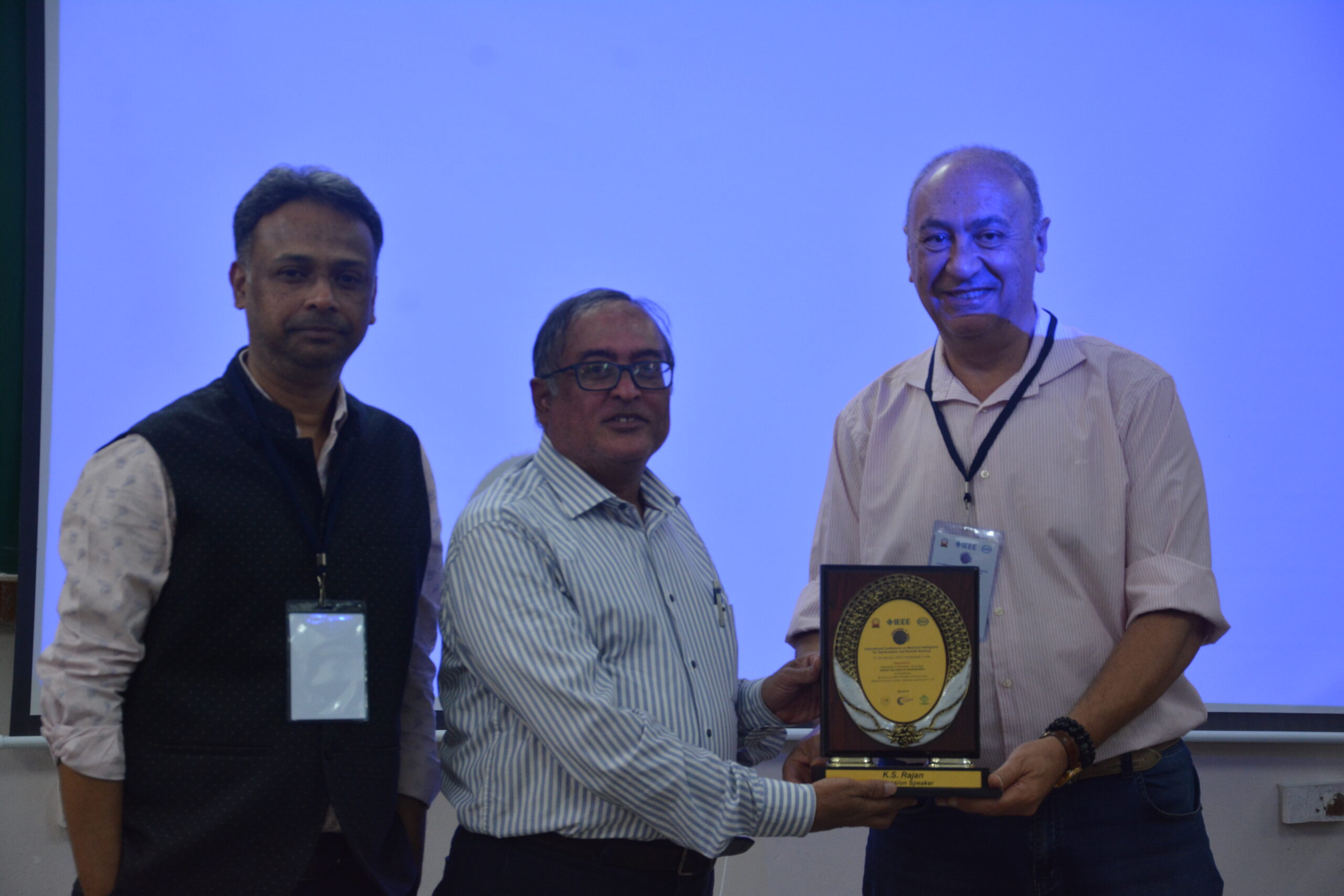
Best Paper Award Presentation & Valedictory
Registration

Sponsors
Main Sponsor & Host Institute

Technical Co-Sponsor


Travel Grant Sponsor
